
 Chongqing

Chongqing · Urban Systems & Technology
How a Mountain City Works
Start with the city model, then test how rivers, slopes, rail and public space make Chongqing function in practice.
Price and availability are confirmed after the date, group size and supplier readiness are verified. No payment is requested at this stage.
DestinationChongqing
Duration4–5 hours
GroupPrivate or learning group
LanguageEnglish interpretation by confirmation
Inside the experience
In Chongqing, infrastructure is the clearest form of geography.
Why this experience
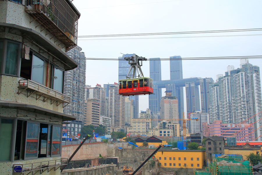
The city’s vertical form turns everyday movement into a planning question. Rivers, elevation, bridges, rail and dense mixed-use space must work together across multiple levels.
What the group will explore
Combine a confirmed planning-gallery interpretation with selected public-space and mobility observations, using a route adapted for weather, crowding and the group’s mobility needs.
What you will take away
A legible systems map of Chongqing and practical insight into how planning and transport respond to unusually demanding terrain.
Request First. The final host, access, route, language support, timing and price are confirmed only after MIC checks the date, group profile and supplier readiness.
“The aim is not simply to see more. It is to understand what you are seeing — and who is behind it.”
MIC experience design principle
Ready when you are
Place this experience in context.
Read the city model, test its logic on streets and transit, then continue into cableway engineering, industrial history or a night neighbourhood.
Open the lensPlanning model
Core experienceTransit and public space
Continue the questionEngineering or local life